Pigeon Hill / Browning Field, Lincoln, MA
Pigeon Hill and Browning Fields are two abutting parcels that feature some nice hiking and riding trails, a riding ring and some beautiful New England scenery.
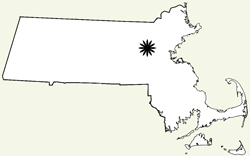
Location: Lincoln, MA. Bounded along its western border by Weston Road, beginning just south of its intersection with Silver
Hill Road.(Map)
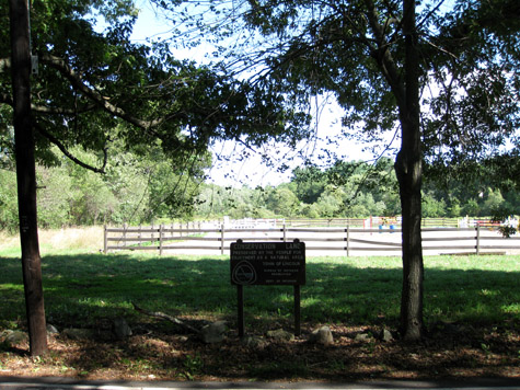
Access: The main access point is a small parking area accessible from Weston Road. The pull off for parking is in the northwestern corner of Browning Fields, adjacent to the riding ring. This spot is easy to find as it is just north of a large Lincoln Conservation Land Trust sign. that faces Weston Road. Google Map View
Fees: No fees.
Features:Sixty-five acres. Hiking and riding trails, riding ring, and an old stone house.
Habitats: Fields, forest, swamp.
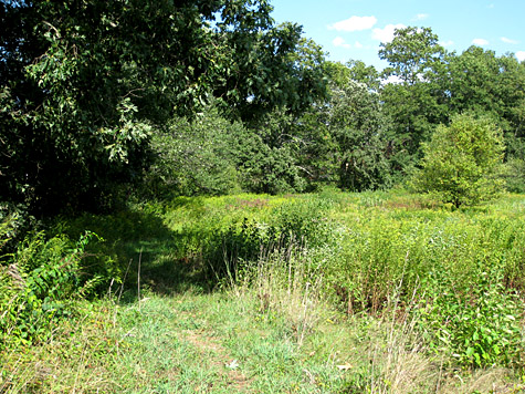
These two parcels of land make a great outing if you just want to get out for an hour or so and see some typical New England landscapes. The fields here have been actively used for many centuries and host a wide variety of birds (do pay attention to the seasonally posted signs about staying out of some areas where birds are nesting!). The rambles through the woods too are an interesting mix of secondary forest, bogs and swamp that border on fields, home lots and other similar forested lands.
What follows is a photographic commentary on some of the sights and features of this property.
The northwest corner of Browning Fields, where the riding ring is located, is the main point of access to Browning Fields and Pigeon Hill. This is the view from Weston Road.
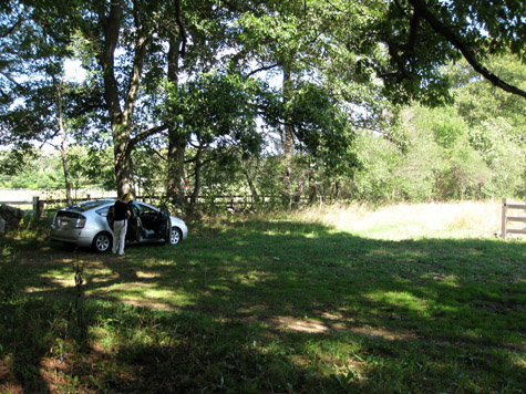
The parking area is small and an flat unimproved area.
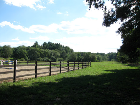
The fields are great habitat for birds. There is a trail that skirts that western edge of both fields.
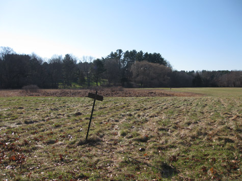
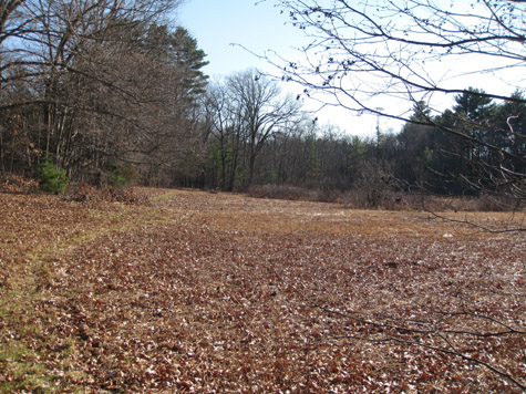
An autumn view of north Browing Field.
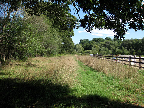
The trail winds along the edge of the fields on its way to Pigeon Hill. The first image shows the path from the parking area, towards the woods, and between a treeline and the riding ring. The second image is further along through the fields and shows the field/forest edge that you pass through on the trail.
This photo is taken a little further back than above but roughly shows that same view in autumn.
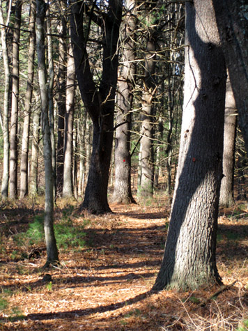
The hiking trails are well marked with blazes in the forest....
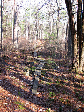
and include some helpful planking routes in places where the ground is wet....
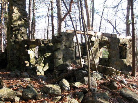
The stone house is an interesting part of a walk through Pigeon Hill.
A map showing a GPS record of a hike in Browning Fields and Pigeon Hill.
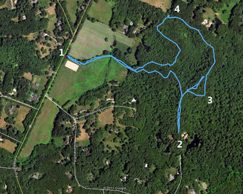
1. The parking area.
2. This trail, which is fine to walk on, leads to a private road that in turn connects with Conant Road. Access along this route is provided by the private landowners so do be respectful of their property and limit any potential disturbance your passing along might cause.
3. The stone house. This structure was built in the 1920's but was never completed.
4. The field that abuts the trail here is the Chapman pasture. You can see sheep grazing here.
- Land Unit:
- Region, City, orTown, Names:
- State:
- State Tag: